ahmed192a/GPSD ↗
Created Apr 22, 2022 · View the ahmed192a/GPSD repository page
Tracking System using Tiva c and GPS to get the Coordinates and Save them in SD card these Coordinates can be displayed on PC using python script in the project or Google earth
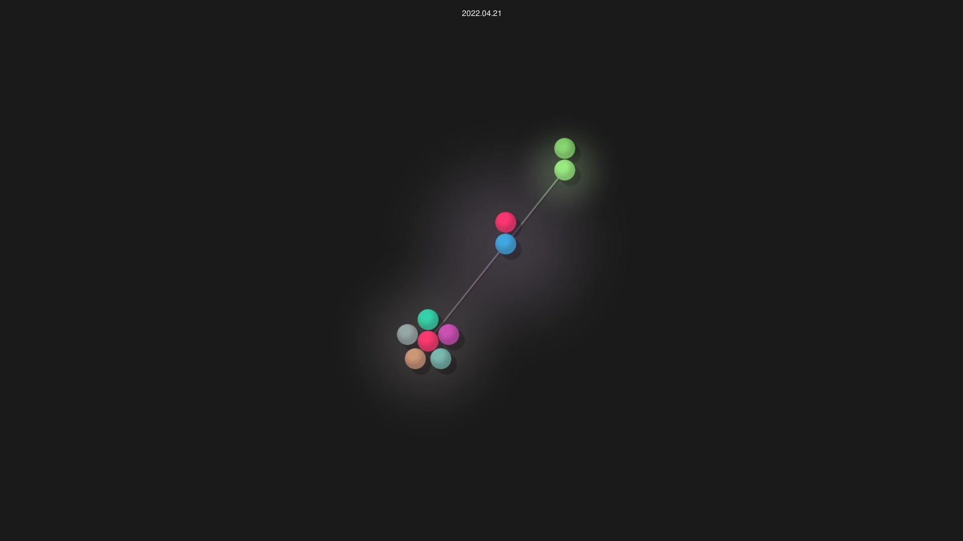
An animated visualization of ahmed192a/GPSD's Git history from May 2021 to April 2022, built by 8 contributors. The codebase reached 150 lines, mostly C. The video runs 14 seconds.
Want this for your repo?
Render a free sample of any GitHub repo in seconds.
Contributors
8
Lines of Code
150
From
May 26, 2021
To
Apr 17, 2022
Advertisement
About ahmed192a/GPSD
This GPS tracking system is built on the Tiva-C microcontroller and uses a NEO-6 GPS module to capture real-time location coordinates. The system stores these coordinates on an SD card and displays the current position and distance on an LCD screen in real time, alerting the user whenever they exceed a 100-meter threshold.
The project generates two separate coordinate files that can be visualized on different platforms. One file format is compatible with Google Maps API for web-based map viewing, while the other can be opened directly in Google Earth. Users can remove the SD card from the device and insert it into a PC to view their recorded path on either mapping platform using a Python script included in the project.
The hardware setup consists of the Tiva-C microcontroller paired with a NEO-6 GPS module, an SD card module, an SD card for storage, and an LCD display for real-time user feedback. This is a student project that demonstrates practical IoT and embedded systems integration for personal location tracking applications.
Advertisement